Complete ArcGIS Course Beginner to Expert
Introduction
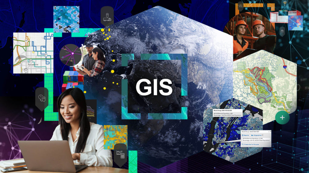
In today’s rapidly evolving technological landscape, Geographic Information Systems (GIS) have emerged as indispensable tools for understanding, analyzing, and visualizing complex spatial data. Among these, ArcGIS stands out as a frontrunner, offering a comprehensive platform that empowers individuals and organizations to harness the potential of geospatial information. Whether you’re an aspiring GIS professional, a researcher, or a decision-maker, learning ArcGIS can open doors to a world of possibilities. In this blog post, we’ll delve into the key features of ArcGIS and the myriad benefits it offers to those who embark on the journey of mastering it.

Key Features of ArcGIS
Spatial Analysis: ArcGIS goes beyond basic mapping by offering a wide range of spatial analysis tools. Users can perform complex geoprocessing tasks such as overlaying multiple layers, calculating distances, conducting suitability analysis, and more. These capabilities are invaluable for making informed decisions based on spatial patterns.
Data Visualization: The platform provides various ways to visualize data, from simple charts and graphs to sophisticated 3D renderings and animations. This aids in conveying insights effectively and engagingly, making it easier for stakeholders to understand complex spatial relationships.
Geodatabase Management: ArcGIS offers a geodatabase framework that allows users to organize, store, and manage spatial and attribute data in a structured manner. This ensures data integrity, reduces redundancy, and enhances collaboration among team members.
Web Mapping and Sharing: With ArcGIS Online, users can create interactive web maps and applications that can be shared with a wider audience. This cloud-based feature fosters collaboration, enabling users to collaborate on projects, access data from anywhere, and publish maps and data online.
Real-time GIS: ArcGIS supports real-time data integration, allowing users to visualize and analyze live data streams. This is particularly useful in applications like disaster response, logistics, and fleet management.
Customization and Automation: ArcGIS provides scripting and automation tools that enable users to streamline repetitive tasks and create custom workflows. This flexibility not only saves time but also empowers users to tailor the platform to their specific needs.
Benefits of Learning ArcGIS
Data-Driven Decision Making: In today’s data-centric world, making informed decisions is crucial. ArcGIS empowers users to analyze and visualize data in a spatial context, leading to more insightful and well-informed choices across various domains.
Cross-Disciplinary Applications: ArcGIS finds applications in a wide range of fields including ecology, epidemiology, marketing, archaeology, and more. This versatility means that learning ArcGIS not only enhances your GIS skills but also allows you to apply them creatively in your area of interest.
Community and Resources: The ArcGIS community is vast and vibrant, offering a wealth of resources for learning and troubleshooting. Online forums, tutorials, and documentation make the learning journey smoother and provide solutions to challenges you might encounter.
Global Perspective: Complete ArcGIS Course Beginner to Expert enables you to explore and understand the world from a spatial perspective. Whether you’re studying patterns of urban growth or tracking wildlife migration, the platform broadens your horizons and fosters a deeper appreciation for the interconnectedness of our planet.
Effective Communication: The ability to create compelling maps and visualizations is a powerful tool for communicating your findings to both technical and non-technical audiences. Complete ArcGIS Course Beginner to Expert can equips you with the means to tell impactful stories through data.
Personal and Professional Growth: Learning Complete ArcGIS Course Beginner to Expert is not just about mastering a software; it’s a journey of personal and professional growth. It challenges you to think critically, solve spatial problems, and see the world through a different lens.
Conclusion
In conclusion, ArcGIS is a versatile and powerful GIS platform that offers a multitude of features to explore, analyze, and visualize spatial data. Complete ArcGIS Course Beginner to Expert can lead to a rewarding journey filled with valuable skills, career opportunities, and a deeper understanding of the world around us. Whether you’re interested in urban planning, environmental conservation, public health, or any other field, ArcGIS has something to offer. So why wait? Embark on the adventure of mastering ArcGIS and unlock a world of possibilities. Your journey into the realm of spatial data awaits!
What will you learn?
- ArcGIS : ArcMap – ArcCatalog – ArcToolbox
- Georeferencing
- Geodatabase
- Map Editing
- Tables – Attribute Tables
- Model Builder
- Conversation Tools
- Digitizing
- Layer Properities
- Layer properties
- Subtypes & Domains
- Join & Relate
- Label & Annotation
- Layout
- Topology
- Transfer Schema of MDB
- Conversion To shapefile
- Expressions
- Spatial Query
If want to download ESRI ArcGIS 3.0 Pro, you can pay a visit to our resources section, here.
Construction Literacy
WE REPRESENT THE FUTURE OF THE CONSTRUCTION


I am absolutely thrilled with my purchase of the ArcGIS tutorials! The content is incredibly comprehensive and well-structured, making it easy for me to grasp the intricacies of geospatial technology. The tutorials are not only informative but also engaging, which has kept me motivated throughout my learning journey. Kudos to the creators for putting together such a fantastic resource. I can already see how this knowledge will benefit me personally and professionally. Highly recommended to anyone looking to dive into the world of geospatial mapping and analysis